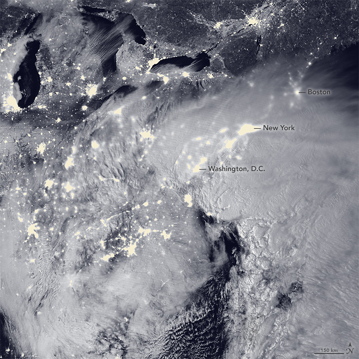
A massive winter storm system pummeled the eastern United States in late January 2016, with two low-pressure systems merging into a potent nor’easter that dropped heavy snow from Virginia to New England. By late afternoon on January 23, snowfall totals were approaching records in several states, and hurricane-force winds were battering the coastlines and leading to serious flooding. The storm was expected to continue through the morning of January 24.
The Visible Infrared Imaging Radiometer Suite (VIIRS) on the Suomi NPP satellite acquired this image of the storm system at 2:15 a.m. Eastern Standard Time (07:15 Universal Time) on January 23, 2016. It was composed through the use of the VIIRS “day-night band,” which detects faint light signals such as city lights, moonlight, airglow, and auroras. In the image, the clouds are lit…
View original post 506 more words
Filed under: News/ Current Events, Weather