
 acquired January 24, 2016download large image (14 MB, JPEG, 5184×3456)
Source: Earth Observatory
Two days after a massive winter storm system dropped snow from Tennessee and Georgia to Massachusetts, millions of Americans are digging out. By some news accounts, more than 30 million people lived in areas that received at least 20 inches (50 centimeters) of snow, and 3 million more saw at least 30 inches (75 centimeters).
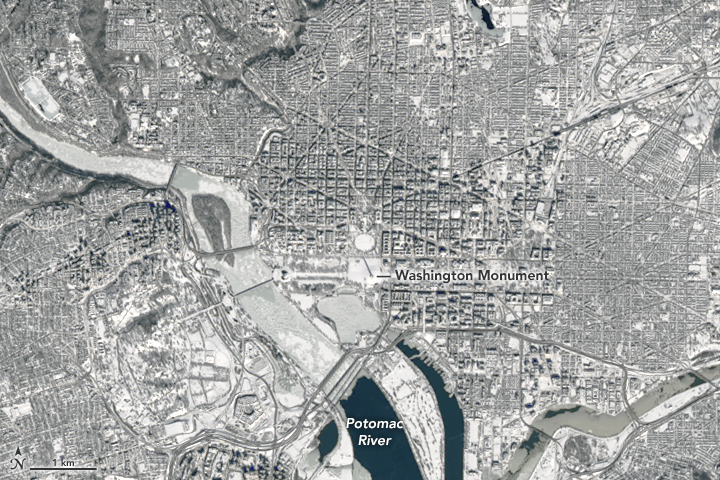
The Operational Land Imager (OLI) on Landsat 8 captured this natural-color image of Virginia, Maryland, and Washington, D.C. in the early afternoon on January 24, 2016. Most neighborhoods in the image received at least 18 to 24 inches (46 to 61 centimeters) of snowfall from the nor’easter that pounded the region from January 22 to 24.
The image below is a close-up of Washington drawn from the larger image. Note the long shadow cast by the Washington Monument.
 acquired January 24…
View original post 453 more words
Filed under: Climate, Science, Weather


